7420576
Description
Mind Map by Marta Pérez Martín, updated more than 1 year ago
|
|
Created by Marta Pérez Martín
over 7 years ago
|
|
LA VERTIENTE CANTÁBRICA
Annotations:
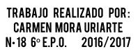
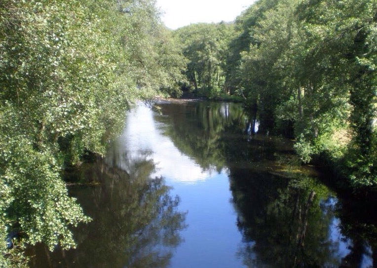
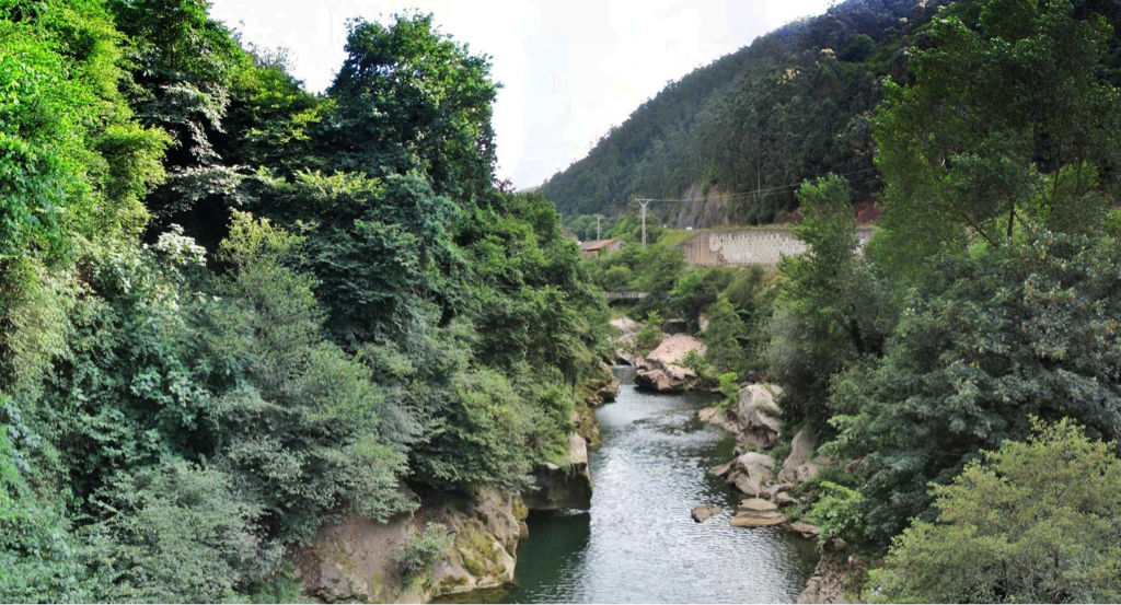
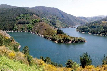
- Son ríos desembocan en el mar cantábrico. Discurren por las comunidades del norte peninsular, principalmente Asturias, Cantabria y País Vasco. Son ríos caudalosos y de régimen regular, debido a las abundantes precipitaciones. Además son cortos. Éstas características favorecen la construcción de embalses. Los más importantes son: • El río Eo nace en Lugo desemboca formando la ría de Ribadeo, entre Galicia y Asturias. • Los ríos Navia, El Nalón, con su afluente el Narcea, y el Sella discurren por el principado de Asturias. • El Besaya, el Saja y el Pas corren por Cantabria. • El Nervión, que forma a la ría de Bilbao, el Deva y el Bidasoa, en el País Vasco.
- LOS MÁS IMPORTANTES SON:
- El río Eo
- El Nervión, el Deba y Bidasoa
- El Besaya, el Saja y
el Pas
- Los ríos Navia,
el Nalón (Narcea) y el Sella
- El río Eo
Media attachments
Want to create your own Mind Maps for free with GoConqr? Learn more.